A cyclone during Candlemas weekend
Vuoi salvare articoli per un rapido accesso?
Sali a bordo della community DN Plus.
Per te, un'area riservata con: approfondimenti esclusivi, i tuoi articoli preferiti, contenuti personalizzati e altri vantaggi speciali
Accedi RegistratiThis Mediterranean cyclone, originally formed over the Bay of Biscay, will gain new energy over Africa but will remain stationary for a few days between the major islands
This Mediterranean cyclone, originally formed over the Bay of Biscay, will gain new energy over Africa but will remain stationary for a few days between the major islands
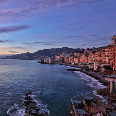
Another dynamic weekend for the Mediterranean, caught between the Azores High, expanding eastward from its usual retreat in the middle of the ocean, and a deep low-pressure system moving up from North Africa.
It is not the summer dynamic weather, with thunderstorm passages, sometimes severe events as we’ve unfortunately come to know in recent seasons, but rather the true winter face of the Mediterranean, rooted in Atlantic disturbances, which frequently pass through our latitudes during this season.
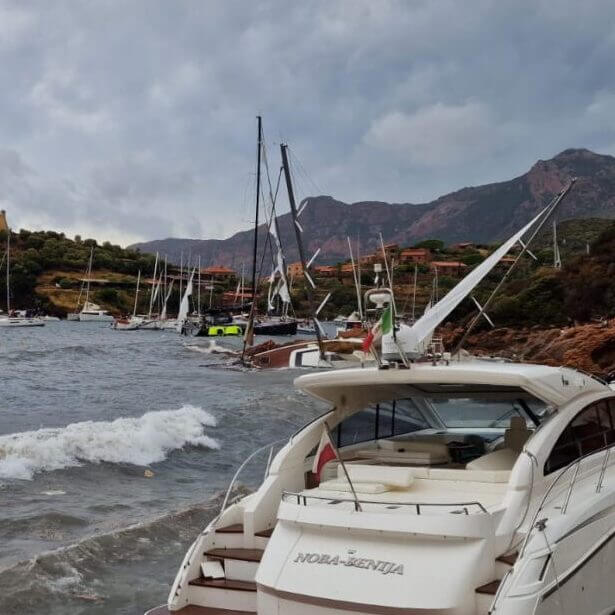
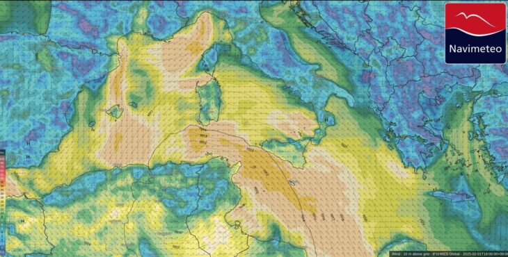
After the brief respite from the weather mid-week, a rapid deterioration will begin on Friday, atypically spreading from the Libyan Sea towards the NNW, bringing gales to the Corsican Sea between Saturday and Sunday, only partially affecting the northern Italian basins.
This Mediterranean cyclone, originally formed over the Bay of Biscay, will gain new energy over Africa but will remain stationary for a few days between the major islands, restricted in its movement by two strong high-pressure systems positioned to the west and east.
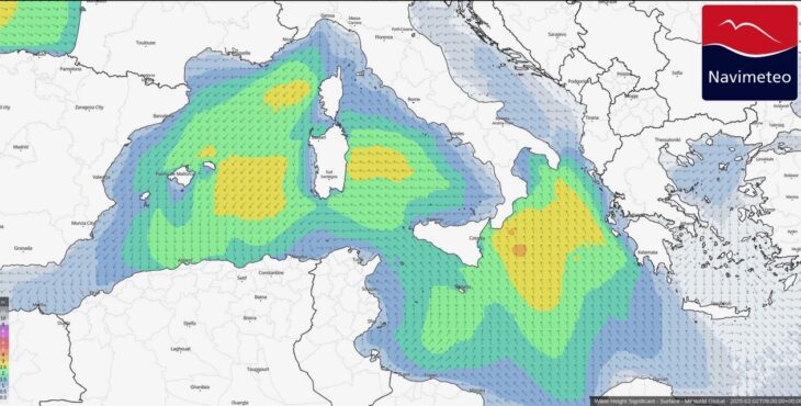
The meteorological situation will not only bring widespread severe weather to southern Italy but also strong S-SE winds, which could reach strong gale force over the Ionian Sea, the Strait of Sicily, and the southern Tyrrhenian Sea, where heavy seas are expected along exposed coastlines.
According to long-term weather model projections, marked weather variability will persist until mid-month, driven by cold air masses pushing into the Mediterranean and Western Europe, colliding with unstable Atlantic moist currents.
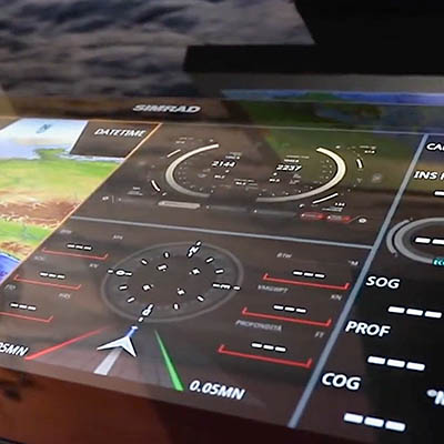
Wind_02feb2025 (credit Navimeteo)
Casarino Alessandro – Navimeteo