Sunday everything changes: clear deterioration expected over the Mediterranean
Vuoi salvare articoli per un rapido accesso?
Sali a bordo della community DN Plus.
Per te, un'area riservata con: approfondimenti esclusivi, i tuoi articoli preferiti, contenuti personalizzati e altri vantaggi speciali
Accedi RegistratiThe phenomena to be monitored gradually will be the thunderstorms that the incursion of cooler northern air can generate on a very warm sea
The phenomena to be monitored gradually will be the thunderstorms that the incursion of cooler northern air can generate on a very warm sea
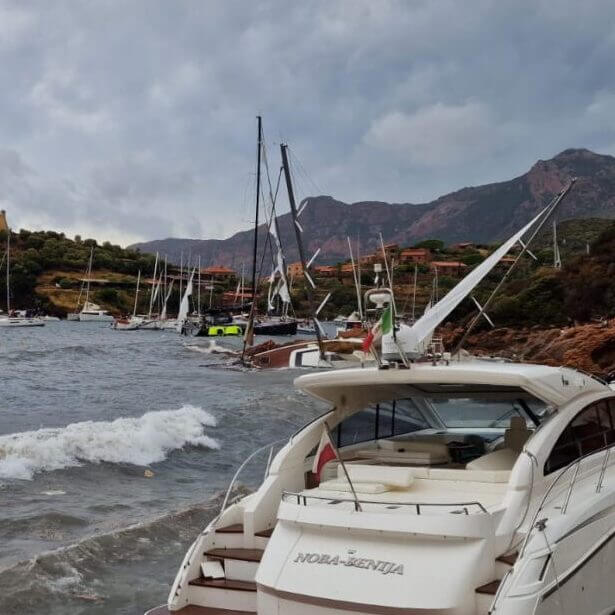
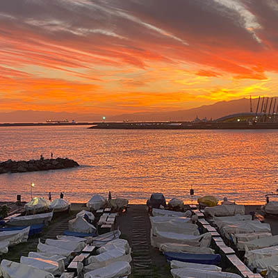
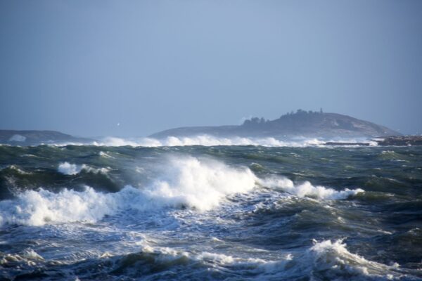
As happened at the beginning of August, the marine weather situation in the last days of this month is expected to deteriorate especially from Sunday 27 due to the deepening of a low that from the Tyrrhenian areas will move towards the Adriatic. The various reference weather models are aligning in indicating the irruption of the Mistral winds, with storm force, from the Gulf of Lion.
This wind will be the engine that will fuel the evolution of the weather on the Med, especially between Monday 28 and Wednesday 30 August. The phenomena to be monitored gradually will be the thunderstorms that the incursion of cooler northern air can generate on a very warm sea.
The strong westerly winds, which will extend to the Sardinia Channel and the Strait of Sicily, will cause rough seas on the exposed coasts. As the low moves east, the Adriatic will also be affected by the deterioration. This first outlook will require a timely update by sailors to understand the real evolution in the different areas.
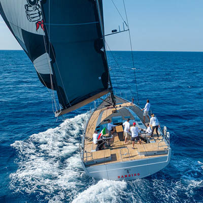
In the next few days many sailors onboard pleasure boats, on their way back, will find themselves having to decide how to adapt their sailing program according to the indicated evolution. In a few days, the deterioration will affect not only the smaller units but also the itineraries of the ships, the foreseen anchorages and port operations.
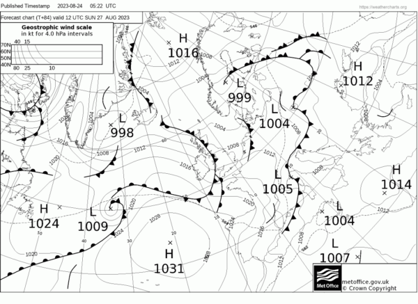
Met Office – Weather Map valid to Sunday 27 August 12 UTC
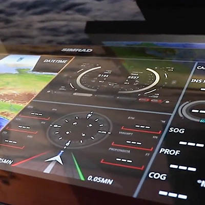
The progress made in marine meteorology makes it possible to follow the evolution of the weather at sea in greater detail, mitigating the risk of being surprised by bad weather. Bulletins, forecasts, observations, radar and satellite images merge into a single system that provides an overview of the weather scenario.
Forecasting techniques (forecasting) are integrated with those of weather monitoring (nowcasting) in order to make the right navigation and operations decisions. At the same time, numerous tropical depressions develop in the Atlantic Ocean and the risk of hurricanes increases.
Video: Navimeteo Panel – Growing winds in the Mediterranean
Alberto Cantone e Gianfranco Meggiorin